Map shows where millions to swelter under dangerous heatwave this weekend
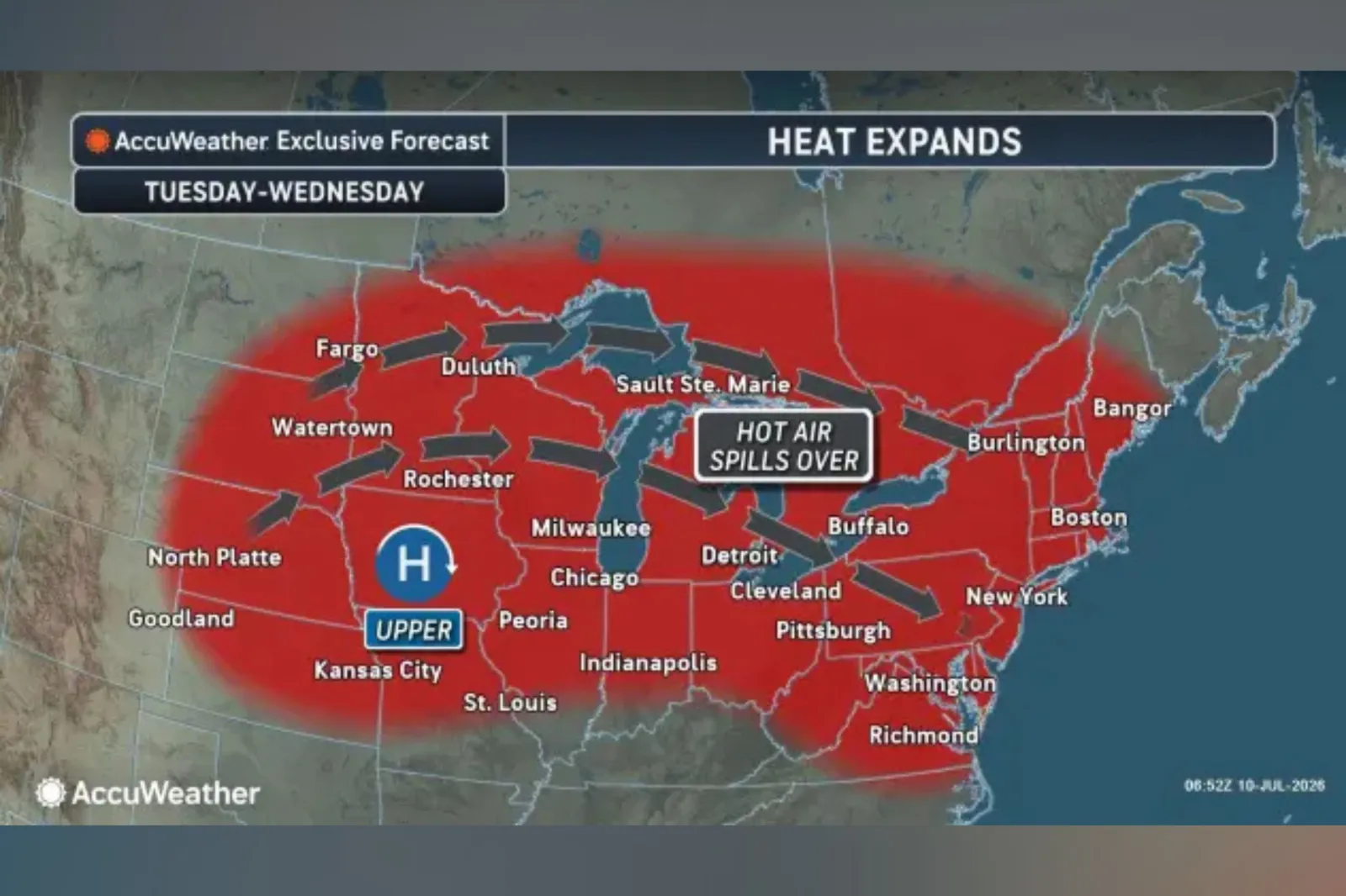
Dangerous heat is set to grip large parts of the U.S. this weekend and early next week, with triple-digit temperatures possible across the interior West before the heat expands into the Midwest and later reaches parts of the East, forecasters say.
Meteorologists are warning that the heat could challenge records in some areas and significantly increase the risk of heat-related illnesses, particularly across parts of the West and northern Plains where extreme heat warnings are already in effect.
According to forecasters at private weather company AccuWeather, a large heat dome is expected to build over the interior West this weekend before spreading into the Upper Midwest and, later, parts of the East. The outlet said the most intense heat into the new week is likely to focus from the northern Rockies into the Midwest, with temperatures threatening records from parts of Nevada to Wisconsin.
Above 100 Degrees In Multiple Locations
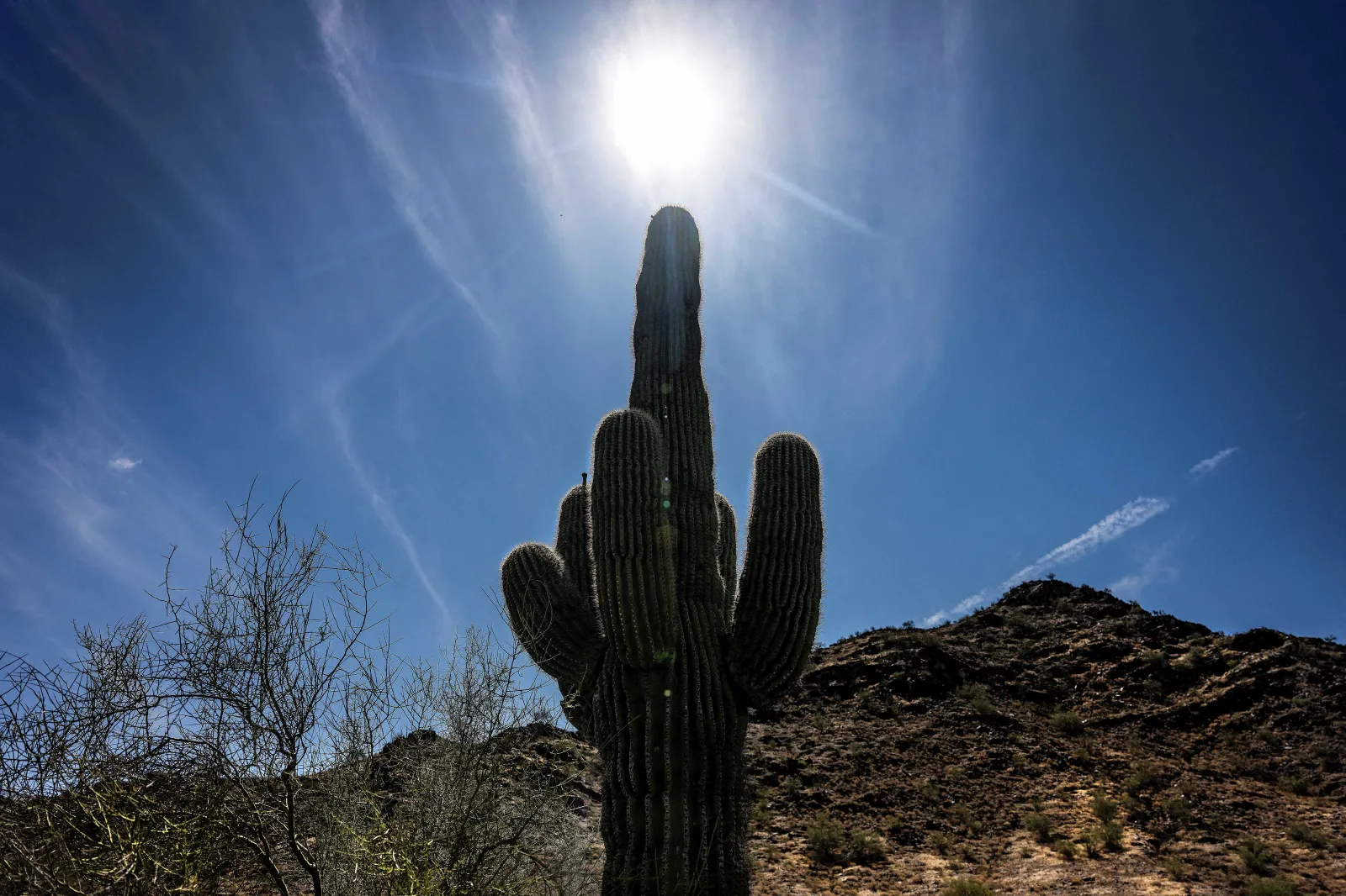
It said temperatures are forecast to climb well above 100 degrees across much of the Great Basin and Intermountain West, including projected highs of 106 degrees in Salt Lake City, 108 in Bismarck, North Dakota, and 109 in Billings, Montana. Those readings would be roughly 10 to 25 degrees above average for this time of year, it added.
As the heat expands eastward early next week, AccuWeather said humidity will make conditions feel even hotter across parts of the north-central U.S.
The forecaster also expects several Midwestern cities, including Minneapolis, Chicago, Detroit and Cleveland, to see multiple days in the 90s, with Minneapolis and Chicago projected to endure at least four straight days at or above 90 degrees.
AccuWeather said the East will also see a return of heat and humidity, though the episode is expected to be shorter and less severe than the heat wave earlier in July. The hottest stretch in the Northeast is forecast for Tuesday through Thursday, with mid- to upper-90s possible along the Interstate 95 corridor from the mid-Atlantic into New England.
Extreme Weather Warnings Issued
As of early Saturday, extreme heat warnings—issued by the National Weather Service “when extremely dangerous heat conditions are expected or occurring”—span much of Utah and Wyoming, eastern Montana, central and western North Dakota, and north-central South Dakota.
Northwestern Colorado, southeastern Idaho, and a portion of Northern Arizona are also under the warnings, with the agency advising that near record temperatures are possible in some locations and that heat-related illnesses increase “significantly” during such extreme heat events.
AccuWeather also noted that, later next week, the heat dome should weaken from north to south across the Central and Eastern states, though parts of the north-central U.S. may remain hot and mostly dry.
Monsoon May Ease Drought But Raise Storm Danger
Meanwhile, AccuWeather said the start of the North American monsoon will help trigger the first widespread summer thunderstorms across parts of the interior West this weekend into next week.
The pattern is expected to draw more moisture into the region as winds shift to the south, bringing the chance of downpours that could ease dryness in some places, while also posing hazards including gusty winds, blowing dust, lightning and possible wildfire starts.
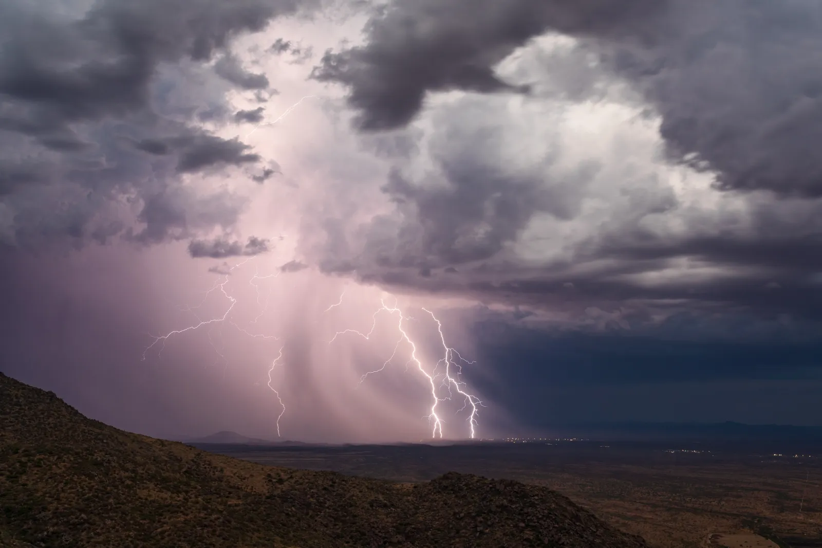
AccuWeather noted that early-season monsoon storms can be uneven, with some areas receiving heavy rain while others see mostly dry thunderstorms.
The forecaster said thunderstorm activity could affect parts of Arizona, New Mexico, Nevada, Utah, Colorado, western Texas and the California deserts, while warning that normally dry washes, canyons and roads can flood quickly even from storms miles away.