Tropical Storm Bertha tracker map shows where landfall expected this week
Tropical Storm Bertha is forecast to track near the northern Gulf Coast over the coming days, bringing heavy rainfall, coastal flooding and a potentially “life-threatening” storm surge to parts of Florida, Alabama, Mississippi and Louisiana, according to the National Hurricane Center (NHC).
The storm strengthened Monday night after Hurricane Hunter aircraft data confirmed that Tropical Depression Two had officially become Tropical Storm Bertha, the second named storm of the 2026 Atlantic hurricane season.
As of the NHC’s latest advisory early on Tuesday morning, Bertha was located in the northeastern Gulf of Mexico near 28.4 degrees north latitude and 86.1 degrees west longitude, about 125 miles south of Panama City, Florida. Maximum sustained winds had increased to 50 mph, while the storm was moving northwest at just 2 mph.
Where Is Tropical Storm Bertha Headed?
Forecasters expect Bertha to remain close to the northern Gulf Coast as it gradually drifts westward.
“Bertha will move near or along the northern Gulf Coast during the next several days,” the Miami-based NHC said.
The official NHC forecast track shows the center of the storm approaching southeastern Louisiana by late Wednesday before tracking westward along the northern Gulf Coast later in the week.
While some fluctuations in the track remain possible, according to the NHC forecast at the time of publishing, the system is expected to approach the Louisiana-Mississippi coast as a tropical storm rather than a hurricane.
Storm Surge and Flooding Threat
The NHC has warned that storm surge could become one of Bertha’s most dangerous hazards.
A Storm Surge Watch remains in effect from the Alabama-Florida border westward to the mouth of the Mississippi River. The agency says there is the possibility of “life-threatening inundation” caused by seawater being pushed inland from the coast.
NHC forecasts that the storm surge could raise water levels by 2 to 4 feet above normally dry ground from the mouth of the Mississippi River to the Alabama-Florida border, if the surge coincides with high tide.
Heavy rainfall is also expected across the Gulf Coast through Friday. The NHC’s rainfall outlook projects widespread totals of 2 to 4 inches from western Florida to Texas, with isolated amounts reaching 8 inches.
Forecasters warn that flash flooding is possible, particularly in urban and low-lying areas.
Tornado Risk and Wind Impacts
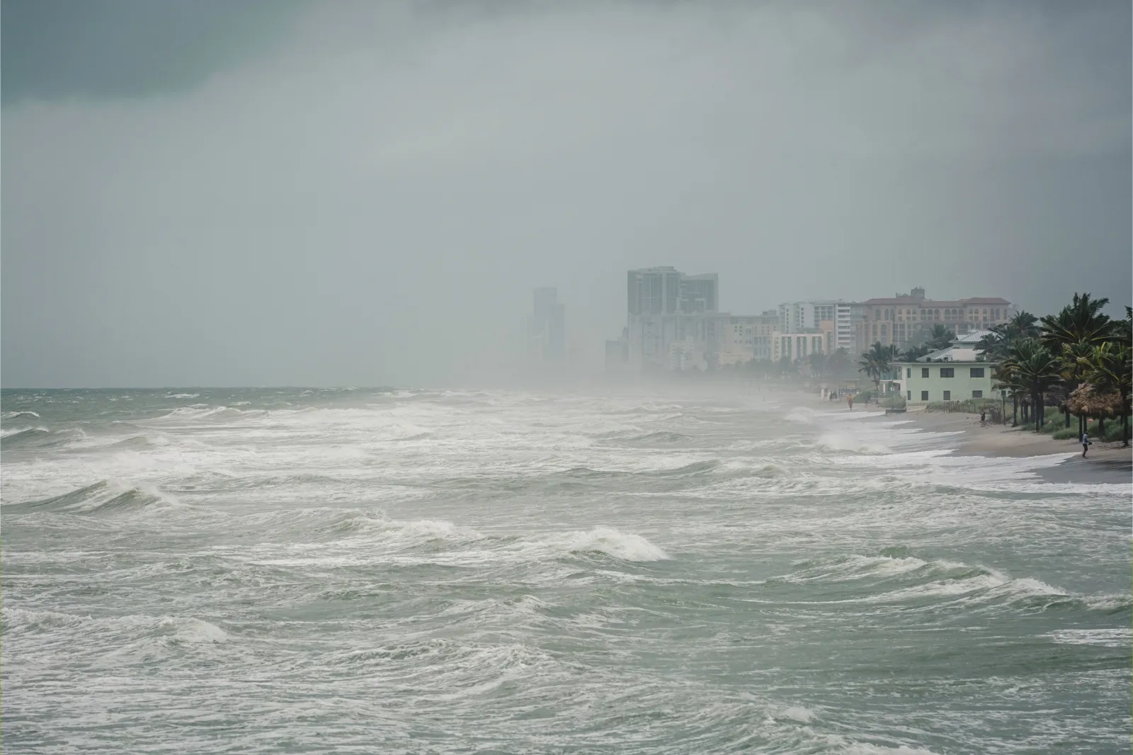
In addition to flooding, forecasters from The Weather Channel say Bertha could produce isolated tornadoes and tropical-storm-force winds, which are expected to sweep along portions of the northern Gulf Coast through Wednesday.
The NHC has issued Tropical Storm Warnings from the Alabama-Florida border westward to the Jefferson/Plaquemines Parish border in Louisiana. Tropical Storm Watches remain posted for parts of the Florida Panhandle, metropolitan New Orleans and additional sections of the Louisiana coast.
What The Experts Are Saying
Alex DaSilva, AccuWeather’s lead hurricane expert, said environmental conditions are expected to limit major strengthening, according to local news outlet The South Florida Reporter.
“Dry air and hostile wind shear across the Gulf will be the biggest factors in whether this depression organizes,” DaSilva said. “Right now, our forecast expects those conditions to prevent significant strengthening […] the next 24 to 48 hours will be key as to where this storm will move later in the week.”
Dr. Ryan Truchelut of WeatherTiger also described Bertha primarily as a rainfall threat rather than a significant wind event.
“Under any realistic scenario, [Tropical Storm Bertha] is predominantly a rainmaker,” Truchelut said, adding that he expects “Periodic rainbands” to spread across inland North Florida over the next two days, expanding into the western Panhandle and eastern Louisiana on Tuesday and Wednesday. “In general, expect rain totals of 2-4” along the immediate coast from Cedar Key to Mobile, as well as in Southeast Louisiana; look for another 1-2” for inland North Florida through the end of the week.”
Residents across the northern Gulf Coast are being urged to monitor forecasts from the NHC and local National Weather Service offices as Bertha moves closer to land and warnings may be expanded or updated over the next 24 to 48 hours.
Contact Newsweek editors on this story: Matthew Robinson and Cristina Diciu.